Source: Stuff (dated December 16th, 2020) – An estimated 8400 people live in low-lying coastal areas of Tasman District that are considered vulnerable to storm inundation and sea level rise, according to a new Council report.
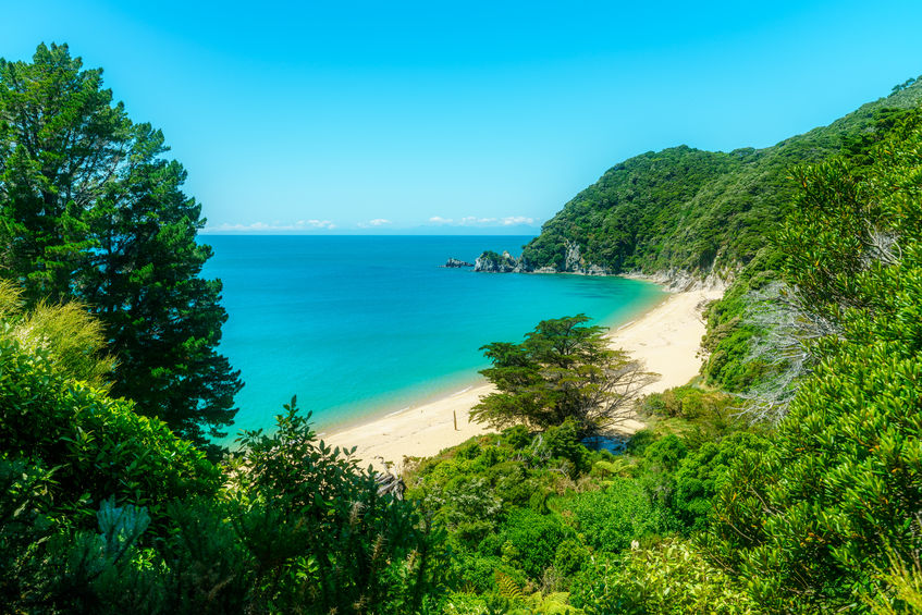
More than 5000 buildings, mostly in Motueka-Riwaka, at least 350 archaeological sites, eight closed landfills, 3650ha of grassland, 2106ha of coastal indigenous vegetation (much of it in Abel Tasman National Park) and 941ha of urban land are identified as being at risk. Those risks arise from coastal storm inundation that has a 1 per cent chance of occurring in any year and up to 2m of sea level rise.
A range of infrastructure is also vulnerable including the Bell Island wastewater treatment plant, Motueka wastewater treatment plant, water trunk mains and about 160km of roads.
Councillors on the Tasman District Council strategy and policy committee are due to receive the sobering document at a meeting on Thursday.The report is described as a “first pass” coastal risk assessment that identifies assets, property, infrastructure and facilities that may be exposed to coastal hazards, based on readily available datasets.
“To try and capture, I guess, what’s at stake, what we stand to lose, what’s at risk,” said council resource scientist Glenn Stevens.
Council natural resources policy planner Diana Worthy urged people to read the risk assessment alongside coastal hazard maps that the council released in July 2019. The maps show areas of low-lying land and how it may be affected by sea level rise scenarios in half-metre increments, from 0.5 metres to 2m. A rise of 0.5m is tipped as possible by 2060 at the earliest.
Those maps also show the effect of higher tides caused by storms.
Feedback provided during community engagement between July and September 2019 was considered during the development of the coastal risk assessment. As part of that engagement, participants were asked to rank their top five values. Those chosen were: homes, lifeline infrastructure, coastal species and habitats, natural character and coastal landscapes and businesses. The council was looking to complete community engagement in 2021 to help identify the issues and options for future coastal management.
The framework had been provided by central Government, from the Ministry for the Environment and the New Zealand Coastal Policy Statement.


Recent Comments