Fault Delineation

Active faults are common features of the New Zealand landscape
Many of us have experienced an earthquake – they are a common occurrence in New Zealand. Active fault lines which generate earthquakes and can rupture the ground, potentially pose a significant hazard to homeowners, communities and infrastructure.
The Earthquake Commission Act automatically gives NZ homeowners some cover (EQCover) if you have private insurance when a natural disaster strikes. However, lending institutions and insurance companies are becoming increasingly particular about lending and or insuring homeowners residing upon, or immediately adjacent to, a known active fault. Where is your land situated?
What fault line mapping can do for you …
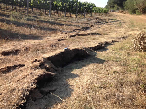
We have the experience and capability to delineate fault structures. Key evidence enabling us to recognise active faults (or folds) is the vertical and/or lateral offset (or buckling) of landforms or young geological deposits visible from ground and/or aerial survey.

Land use and hazard mitigation
While displaced landforms can provide important clues as to the general location of active faults or folds, many details relevant to land-use, development and hazard mitigation cannot be obtained without more detailed site-specific investigation.
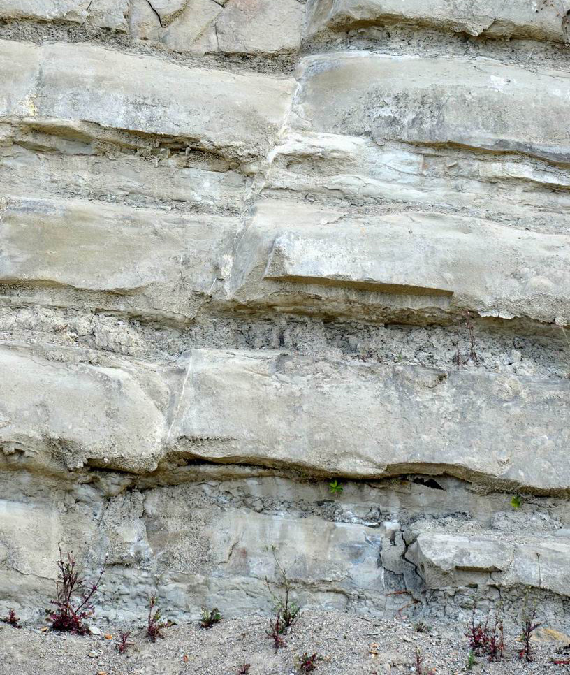
With accurate on-the-ground fault mapping, the excavation of a trench across the mapped structure can be dug to reveal the zone of deformation. By detailing sub-surface structures exposed along the trench walls, it is possible to ascertain the timing and frequency of rupture events.
Allow us to review and discuss your options. To talk about fault line mapping for your property or infrastructure, call Brent on 021 215 5968 or email your enquiry to: brent@geohazassess.co.nz

